To say Texas is big would be the understatement of the century. It would take about 12 hours to drive across the state from Texarkana to El Paso. Throughout Texas, you'll find lush forests, rolling hills, flatlands, beaches and desert. Along with a changing landscape, you encounter small towns, sprawling cities and a variety of individual cultures. Much ado has been made about how many states (and even countries!) could fit inside the state of Texas. But what if Texas itself was divided into separate states?
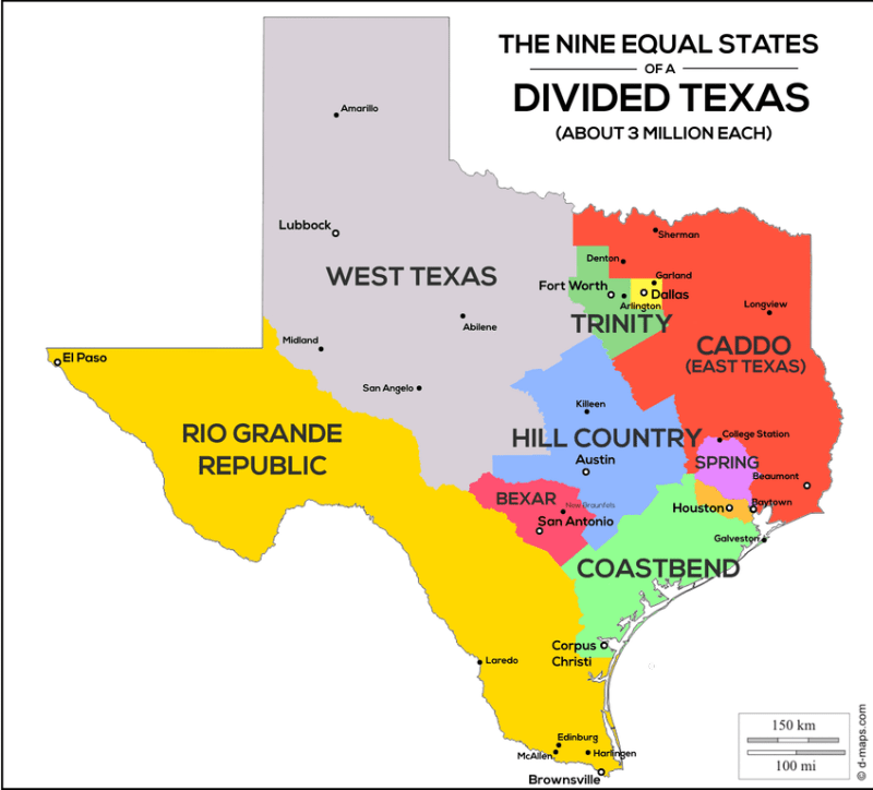
A helpful Redditor created a map of Texas, divided into nine equal states based on population. Each "state" has a population of around 3 million. Take a look.
The States of Texas
Source: Reddit
As you can see, the more sparsely populated West Texas takes up a huge swath of land, encompassing the Panhandle and much of central west Texas. The Rio Grand Republic, encompassing Laredo, Brownsville and El Paso, is also pretty expansive.
Central Texas' Hill Country is its own state. The small state of Bexar, named for the county encompassing San Antonio, is nestled between the Rio Grand Republic and Hill Country. Perhaps then non native-Texans would finally learn how to pronounce it.
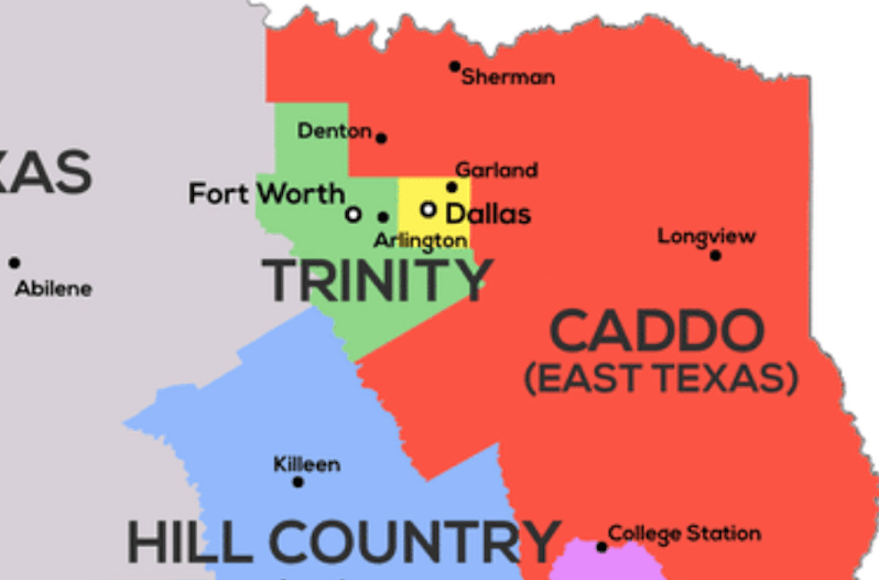
Dallas, Fort Worth and Arlington get to share a state, forming "Trinity." And of course, the massively populated H-Town is its own state entirely.
READ MORE: This Rural Texas County is the Richest in the United States
So there you have it, the United States of Texas. This map raises several questions. Which state would have the best BBQ? The best sports teams? What would be the capital of Caddo? Could George Strait become governor of Bexar? Which state would you want to live in? No matter what you decide, you'd still be in Texas, the greatest state (country?) of all.